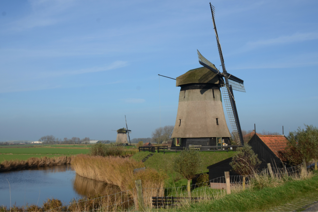

If you drive half an hour north from Amsterdam, you’ll suddenly find yourself in one of the most impressive polder landscapes in the world. The Beemster lies more than three and a half meters below sea level, in a place where a wild inland sea still flowed in the seventeenth century.
The orderly pattern of roads and canals has hardly changed in over four hundred years. In addition to the well-known star-shaped fortified towns and impressive historic forts in our country, this polder is home to a unique combination of hydraulic engineering and military defense. This makes this polder not only a visual masterpiece, but also a place where two separate UNESCO World Heritage Sites converge.
50 windmills and the birth of the polder model
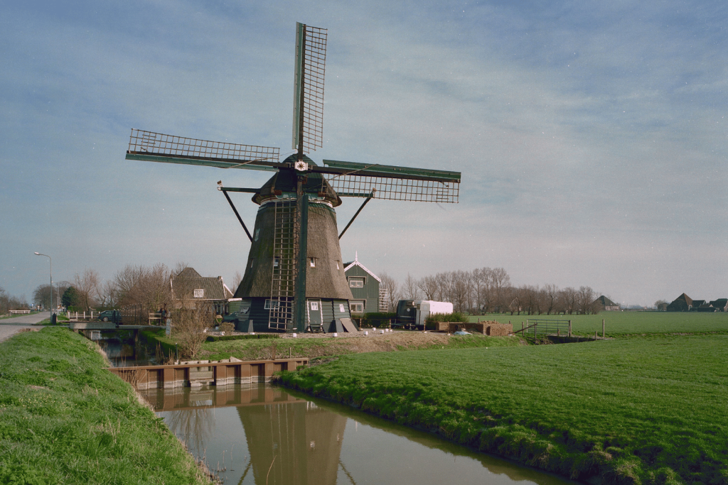
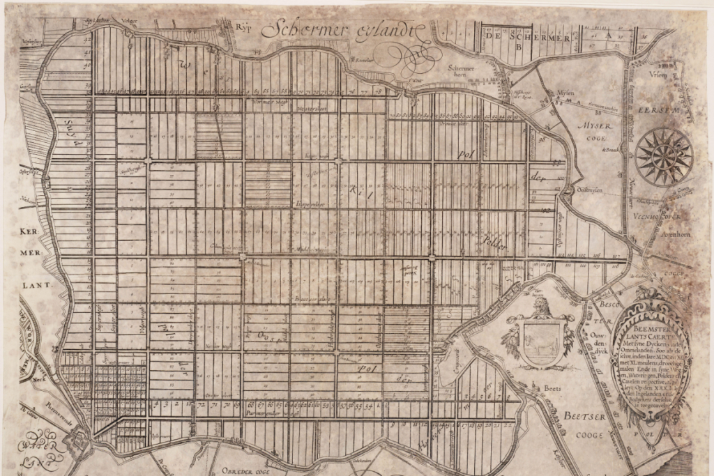
In 1612 , a dangerous inland sea was transformed into a neatly subdivided polder, drained by an impressive chain of fifty windmills and enclosed by 42 kilometers of dike. The massive project was financed by wealthy Amsterdam merchants of the Dutch East India Company (VOC).
Yet it wasn’t just the hydraulic engineering that was visionary. To prevent legal battles with surrounding villages and fishermen, politician Johan van Oldenbarnevelt compelled the investors to provide compensation and engage in consultation. To this day, these mandatory negotiations are regarded as the cradle of the Dutch polder model.
Two UNESCO monuments on a single historic site
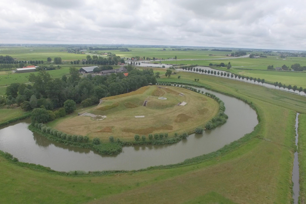
What makes De Beemster unique is its precise, geometric layout. The pattern of perfectly straight roads and canals was designed in the seventeenth century based on classical principles.
Within this symmetrical grid, you’ll find not only the characteristic thatched farmhouses with their pyramid-shaped roofs, but also five historic defensive structures. These forts are part of the Defense Line of Amsterdam. As a result, two separate UNESCO World Heritage Sites overlap at exactly the same location.
Experience the Beemster: from the ring dike to the fort-wellness center
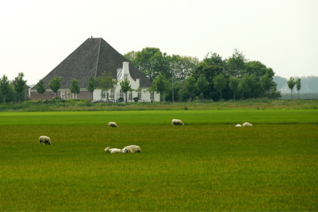
The best way to experience the polder grid is from the 42-kilometer-long ring dike. From the elevated dike, you can look down on the symmetrical landscape, the historic farmhouses, and villages such as Middenbeemster. Along the way, you’ll pass farm shops filled with local products and the famous Beemster cheese.
A special highlight awaits you at the Fort on the Nekkerweg. This part of the Defense Line of Amsterdam has been transformed into the luxurious Fort Resort Beemster, where you can relax in a historic UNESCO monument amidst the tranquility of the polder.
Practical information for your visit
🚗 By car: Take the A7 (exit N244 Middenbeemster). Parking in the villages is free.
🚲 By bike: Follow the bike route markers along the 42-kilometer-long ring dike.
🚌 By public transit: Take bus 305 from Amsterdam Central Station to Middenbeemster.
📍 Location: Rijperweg 1, Middenbeemster (Visitor Center)
💵 Cost: Free
ℹ️ More info: Visit Beemster